
Fil:Stanislaus County California Incorporated and Unincorporated areas Turlock Highlighted.svg

Størrelse for denne PNG-forhåndsvisningen av denne SVG-filen: 800 × 600 piksler Andre oppløsninger: 320 × 240 piksler | 640 × 480 piksler | 1 024 × 768 piksler | 1 280 × 960 piksler | 2 560 × 1 920 piksler | 1 200 × 900 piksler.
Opprinnelig fil (SVG-fil, standardstørrelse 1 200 × 900 piksler, filstørrelse: 105 KB)
| Denne filen er fra Wikimedia Commons og kan brukes av andre prosjekter. Informasjonen fra filbeskrivelsessiden vises nedenfor. |
W3C-validity not checked.
Beskrivelse
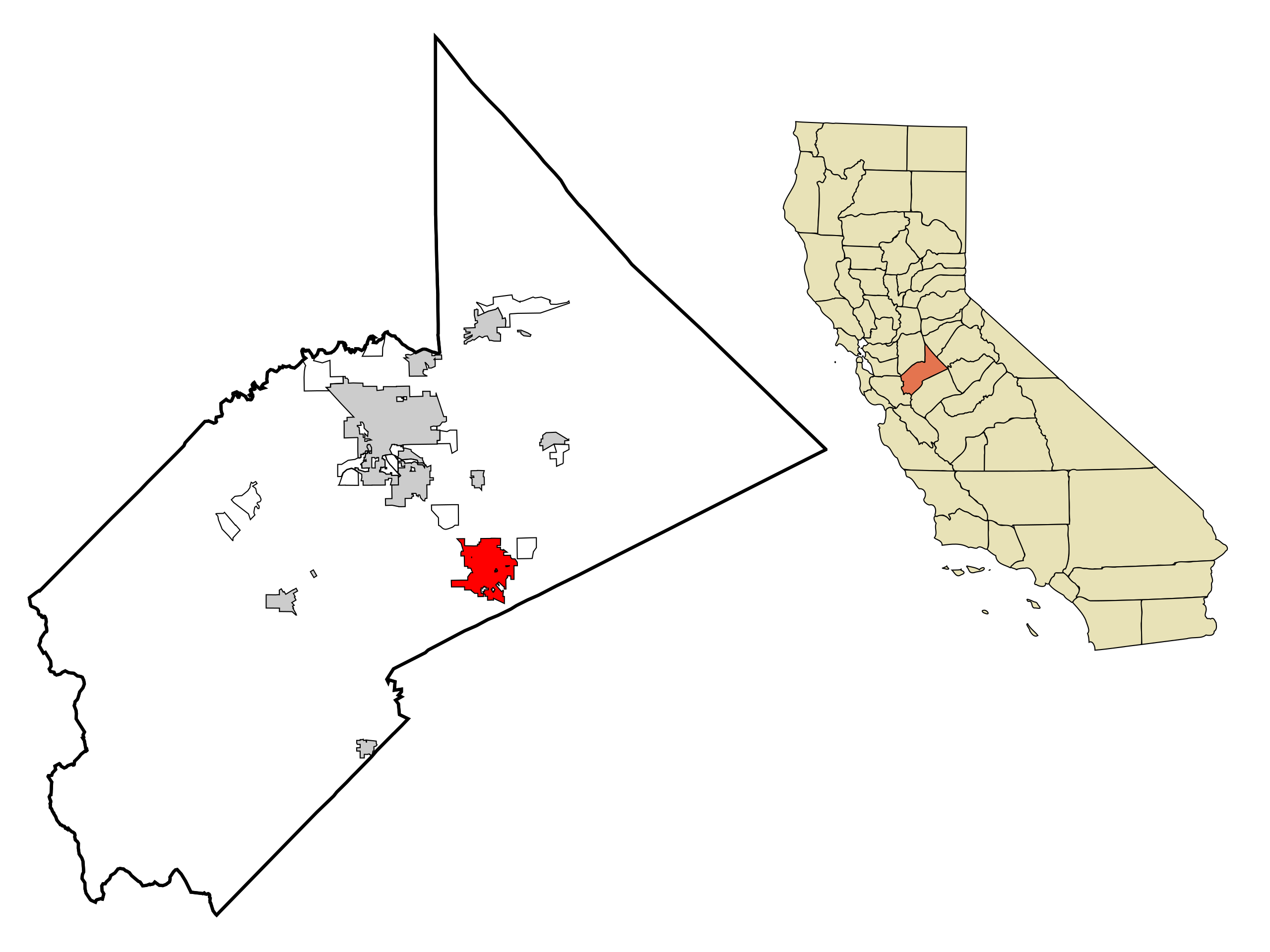
| Beskrivelse | This map shows the incorporated and unincorporated areas in Stanislaus County, California, highlighting Turlock in red. It was created with a custom script with US Census Bureau data and modified with Inkscape. |
| Dato | |
| Kilde | My own work, based on public domain information. Based on similar map concepts by Ixnayonthetimmay |
| Opphavsperson | Arkyan |
Lisensiering
Jeg, rettighetsinnehaver av dette arbeidet, publiserer det herved under følgende lisenser:

|
Det tillates at dette dokumentet kopieres, distribueres og/eller modifiseres under retningslinjene som beskrevet i GNU fri dokumentasjonslisens, versjon 1.2 eller senere utgave utgitt av Free Software Foundation; med alle seksjoner, uten noen forsidetekster og baksidetekster. En kopi av lisensen er inkludert i avsnittet GNU Free Documentation License. |
| Denne filen er lisensiert under lisensen Creative Commons Navngivelse-DelPåSammeVilkår 3.0 Unported | ||
| ||
| Dette lisensmerket ble lagt til filen som del av lisensoppdateringen av GFDL. |
Denne filen er lisensiert under lisensene Creative Commons Navngivelse-DelPåSammeVilkår 2.5 Generisk, 2.0 Generisk og 1.0 Generisk.
- Du står fritt:
- til å dele – til å kopiere, distribuere og overføre verket
- til å blande – til å endre verket
- Under de følgende betingelsene:
- navngivelse – Du må kreditere verket på passende vis, lenke til lisensen og indikere hvorvidt det har blitt gjort endringer. Du kan gjøre det på enhver rimelig måte, men ikke på en måte som antyder at lisensgiveren støtter deg eller din bruk av verket.
- del på samme vilkår – Dersom du remikser, omarbeider eller på annen måte bygger på dette verket, må du kun distribuere resultatet under den samme eller en samsvarende lisens som denne.
Du kan velge lisens etter eget valg.
Filhistorikk
Klikk på et tidspunkt for å vise filen slik den var på det tidspunktet.
| Dato/klokkeslett | Miniatyrbilde | Dimensjoner | Bruker | Kommentar | |
|---|---|---|---|---|---|
| nåværende | 17. jun. 2013 kl. 16:15 | | 1 200 × 900 (105 KB) | Citypeek | Valid SVG now. |
| 7. aug. 2007 kl. 17:33 |  | 1 200 × 900 (166 KB) | ArkyBot~commonswiki | {{Information |Description=This map shows the incorporated and unincorporated areas in Stanislaus County, California, highlighting Turlock in red. | |
| 30. jul. 2007 kl. 19:15 |  | 1 150 × 900 (162 KB) | ArkyBot~commonswiki | {{Information |Description=This map shows the incorporated and unincorporated areas in Stanislaus County, California, highlighting Turlock in red. |
Filbruk
Den følgende siden bruker denne filen:
Global filbruk
Følgende andre wikier bruker denne filen:
- Bruk i ar.wikipedia.org
- Bruk i arz.wikipedia.org
- Bruk i azb.wikipedia.org
- Bruk i ca.wikipedia.org
- Bruk i ceb.wikipedia.org
- Bruk i en.wikipedia.org
- Bruk i es.wikipedia.org
- Bruk i eu.wikipedia.org
- Bruk i fa.wikipedia.org
- Bruk i fr.wikipedia.org
- Bruk i ht.wikipedia.org
- Bruk i it.wikipedia.org
- Bruk i ja.wikipedia.org
- Bruk i ml.wikipedia.org
- Bruk i pt.wikipedia.org
- Bruk i sr.wikipedia.org
- Bruk i tr.wikipedia.org
- Bruk i tt.wikipedia.org
- Bruk i ur.wikipedia.org
- Bruk i vo.wikipedia.org
- Bruk i www.wikidata.org
- Bruk i zh-min-nan.wikipedia.org
- Bruk i zh.wikipedia.org