
Fil:Map of South Carolina highlighting Georgetown County.svg

Størrelse for denne PNG-forhåndsvisningen av denne SVG-filen: 752 × 599 piksler Andre oppløsninger: 301 × 240 piksler | 602 × 480 piksler | 964 × 768 piksler | 1 280 × 1 020 piksler | 2 560 × 2 040 piksler | 4 419 × 3 522 piksler.
Opprinnelig fil (SVG-fil, standardstørrelse 4 419 × 3 522 piksler, filstørrelse: 103 KB)
| Denne filen er fra Wikimedia Commons og kan brukes av andre prosjekter. Informasjonen fra filbeskrivelsessiden vises nedenfor. |
Beskrivelse
| Beskrivelse |
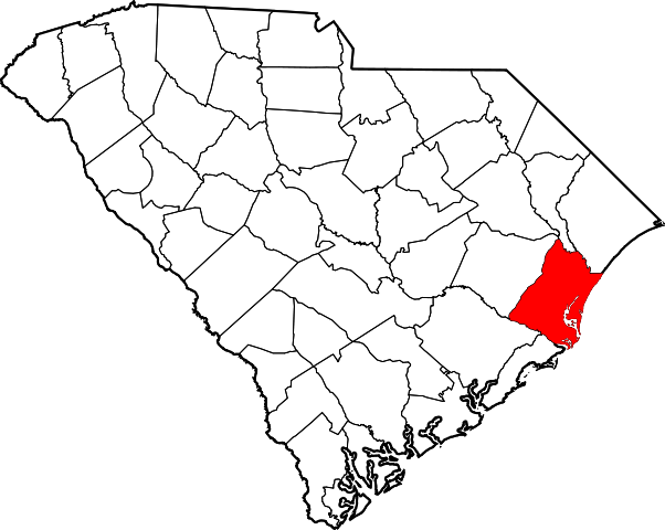
Locator map of Georgetown County — in South Carolina.
|
| Dato | 12. februar 2006 (original upload date) |
| Kilde | No machine-readable source provided. Own work assumed (based on copyright claims). |
| Opphavsperson | Ingen maskinlesbar opphavsperson oppgitt. David Benbennick er antatt opphavsperson, basert på opplysninger om opphavsrett. |
Lisensiering
| Jeg, opphavsrettensholderen til dette verket, frigir dette verket til allmennheten. Dette gjelder på verdensbasis. I enkelte land kan dette være juridisk umulig. I så fall: Jeg gir hvem som helst retten til å bruke dette verket for ethvert formål, uten noen vilkår, med mindre slike vilkår kreves ved lov. |
Filhistorikk
Klikk på et tidspunkt for å vise filen slik den var på det tidspunktet.
| Dato/klokkeslett | Miniatyrbilde | Dimensjoner | Bruker | Kommentar | |
|---|---|---|---|---|---|
| nåværende | 12. feb. 2006 kl. 18:25 | | 4 419 × 3 522 (103 KB) | David Benbennick | {{subst:User:Dbenbenn/clm|county=Georgetown County|state=South Carolina|type=county}} |
Filbruk
De følgende 2 sidene bruker denne filen:
Global filbruk
Følgende andre wikier bruker denne filen:
- Bruk i ar.wikipedia.org
- Bruk i bg.wikipedia.org
- Bruk i bpy.wikipedia.org
- Bruk i cdo.wikipedia.org
- Bruk i ceb.wikipedia.org
- Bruk i ce.wikipedia.org
- Bruk i cy.wikipedia.org
- Bruk i de.wikipedia.org
- Bruk i en.wikipedia.org
- List of counties in South Carolina
- Georgetown County, South Carolina
- Georgetown, South Carolina
- Murrells Inlet, South Carolina
- Pawleys Island, South Carolina
- Garden City, South Carolina
- Andrews, South Carolina
- Sandy Island, South Carolina
- Myrtle Beach metropolitan area
- Template:Georgetown County, South Carolina
- User:Nyttend/County templates/SC
- North Santee, Georgetown County, South Carolina
- Plantersville, South Carolina
- DeBordieu Colony, South Carolina
- National Register of Historic Places listings in Georgetown County, South Carolina
- Hopewell, Williamsburg County, South Carolina
- Litchfield Beach, South Carolina
- Category:Populated places in Georgetown County, South Carolina
- Spring Gully, South Carolina
- Dunbar, Georgetown County, South Carolina
- Choppee, South Carolina
- Bruk i eo.wikipedia.org
- Bruk i es.wikipedia.org
- Bruk i eu.wikipedia.org
- Bruk i fa.wikipedia.org
Vis mer global bruk av denne filen.