
Fil:Map of Montana highlighting Rosebud County.svg

Størrelse for denne PNG-forhåndsvisningen av denne SVG-filen: 800 × 461 piksler Andre oppløsninger: 320 × 185 piksler | 640 × 369 piksler | 1 024 × 591 piksler | 1 280 × 738 piksler | 2 560 × 1 477 piksler | 9 194 × 5 303 piksler.
Opprinnelig fil (SVG-fil, standardstørrelse 9 194 × 5 303 piksler, filstørrelse: 122 KB)
| Denne filen er fra Wikimedia Commons og kan brukes av andre prosjekter. Informasjonen fra filbeskrivelsessiden vises nedenfor. |
Beskrivelse
| Beskrivelse |
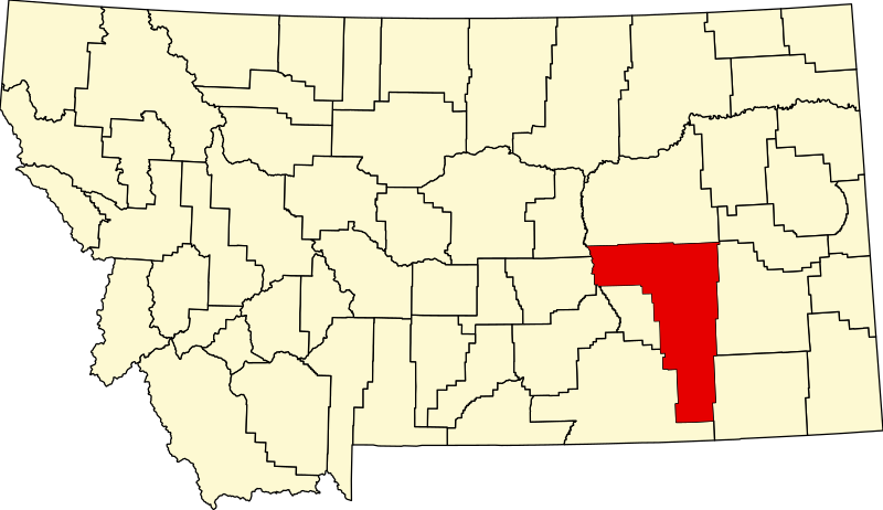
English: This is a locator map showing Rosebud County in Montana. For more information, see Commons:United States county locator maps. |
| Dato | |
| Kilde |
Eget verk: English: The maps use data from nationalatlas.gov, specifically countyp020.tar.gz on the Raw Data Download page. The maps also use state outline data from statesp020.tar.gz. The Florida maps use hydrogm020.tar.gz to display Lake Okeechobee. |
| Opphavsperson | David Benbennick |
Lisensiering
| Jeg, opphavsrettensholderen til dette verket, frigir dette verket til allmennheten. Dette gjelder på verdensbasis. I enkelte land kan dette være juridisk umulig. I så fall: Jeg gir hvem som helst retten til å bruke dette verket for ethvert formål, uten noen vilkår, med mindre slike vilkår kreves ved lov. |
Filhistorikk
Klikk på et tidspunkt for å vise filen slik den var på det tidspunktet.
| Dato/klokkeslett | Miniatyrbilde | Dimensjoner | Bruker | Kommentar | |
|---|---|---|---|---|---|
| nåværende | 12. feb. 2006 kl. 15:30 | | 9 194 × 5 303 (122 KB) | David Benbennick | {{subst:User:Dbenbenn/clm|county=Rosebud County|state=Montana|type=county}} |
Filbruk
Det er ingen sider som bruker denne filen.
Global filbruk
Følgende andre wikier bruker denne filen:
- Bruk i ar.wikipedia.org
- Bruk i bg.wikipedia.org
- Bruk i bpy.wikipedia.org
- Bruk i cdo.wikipedia.org
- Bruk i ceb.wikipedia.org
- Bruk i cy.wikipedia.org
- Bruk i de.wikipedia.org
- Bruk i en.wikipedia.org
- List of counties in Montana
- Rosebud County, Montana
- Ashland, Montana
- Birney, Montana
- Colstrip, Montana
- Forsyth, Montana
- Lame Deer, Montana
- Northern Cheyenne Indian Reservation
- Ingomar, Montana
- Sumatra, Montana
- Vananda, Montana
- User:Nyttend/County templates/MT
- Template:Rosebud County, Montana
- Wolf Mountains Battlefield
- National Register of Historic Places listings in Rosebud County, Montana
- Howard School (Forsyth, Montana)
- List of lakes of Rosebud County, Montana
- List of mountains in Rosebud County, Montana
- Category:Populated places in Rosebud County, Montana
- First Presbyterian Church and Manse (Forsyth, Montana)
- Rosebud, Montana
- Bascom, Montana
- Carterville, Montana
- Deer Medicine Rocks
- Angela, Montana
- Hathaway, Montana
- Hibbard, Montana
- Camp Merritt (Montana)
- Forsyth Main Street Historic District
- Rosebud County Courthouse
- Herman and Hannah Anderson House
- Forsyth Bridge
- Blue Front Rooming House
Vis mer global bruk av denne filen.