
Fil:Map of California highlighting San Benito County.svg

Størrelse for denne PNG-forhåndsvisningen av denne SVG-filen: 523 × 599 piksler Andre oppløsninger: 209 × 240 piksler | 419 × 480 piksler | 670 × 768 piksler | 894 × 1 024 piksler | 1 787 × 2 048 piksler | 1 022 × 1 171 piksler.
Opprinnelig fil (SVG-fil, standardstørrelse 1 022 × 1 171 piksler, filstørrelse: 504 KB)
| Denne filen er fra Wikimedia Commons og kan brukes av andre prosjekter. Informasjonen fra filbeskrivelsessiden vises nedenfor. |
Beskrivelse
| Beskrivelse |
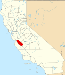
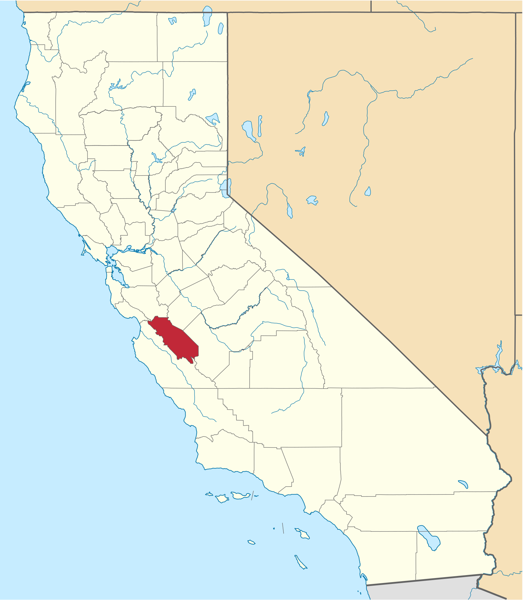
English: This is a locator map showing San Benito County in California. For more information, see Commons:United States county locator maps. |
| Dato | |
| Kilde |
Eget verk: English: The maps use data from nationalatlas.gov, specifically countyp020.tar.gz on the Raw Data Download page. The maps also use state outline data from statesp020.tar.gz. The Florida maps use hydrogm020.tar.gz to display Lake Okeechobee. |
| Opphavsperson | David Benbennick |
Lisensiering
| Jeg, opphavsrettensholderen til dette verket, frigir dette verket til allmennheten. Dette gjelder på verdensbasis. I enkelte land kan dette være juridisk umulig. I så fall: Jeg gir hvem som helst retten til å bruke dette verket for ethvert formål, uten noen vilkår, med mindre slike vilkår kreves ved lov. |
Filhistorikk
Klikk på et tidspunkt for å vise filen slik den var på det tidspunktet.
| Dato/klokkeslett | Miniatyrbilde | Dimensjoner | Bruker | Kommentar | |
|---|---|---|---|---|---|
| nåværende | 25. nov. 2016 kl. 20:51 | | 1 022 × 1 171 (504 KB) | Spartan7W | Update HQ map |
| 12. feb. 2006 kl. 12:27 |  | 9 164 × 10 536 (229 KB) | David Benbennick | {{subst:User:Dbenbenn/clm|county=San Benito County|state=California}} |
Filbruk
Den følgende siden bruker denne filen:
Global filbruk
Følgende andre wikier bruker denne filen:
- Bruk i ar.wikipedia.org
- Bruk i az.wikipedia.org
- Bruk i ban.wikipedia.org
- Bruk i be.wikipedia.org
- Bruk i bg.wikipedia.org
- Bruk i bpy.wikipedia.org
- Bruk i ca.wikipedia.org
- Bruk i ceb.wikipedia.org
- Bruk i ce.wikipedia.org
- Bruk i cs.wikipedia.org
- Bruk i cy.wikipedia.org
- Bruk i da.wikipedia.org
- Bruk i de.wikipedia.org
- Bruk i en.wikipedia.org
- List of counties in California
- San Benito County, California
- Aromas, California
- Hollister, California
- Ridgemark, California
- San Juan Bautista, California
- Central Coast (California)
- New Idria, California
- Template:San Benito County, California
- Paicines, California
- Tres Pinos, California
- Panoche, California
- Category:Wikipedia requested photographs in San Benito County, California
- National Register of Historic Places listings in San Benito County, California
- User:Nyttend/County templates/CA/2
- Bitterwater, California
- Rancho Cienega del Gabilán
- San Benito, California
- River Oaks, California
- Category:Populated places in San Benito County, California
- Dunneville, California
- New Idria Mercury Mine
Vis mer global bruk av denne filen.