
Fil:Bouvet-Location.JPG
Opprinnelig fil (872 × 872 piksler, filstørrelse: 113 KB, MIME-type: image/jpeg)
| Denne filen er fra Wikimedia Commons og kan brukes av andre prosjekter. Informasjonen fra filbeskrivelsessiden vises nedenfor. |

|
Dette bildet bør gjenskapes med hjelp av vektorgrafikk som en SVG-fil. Dette har flere fordeler, se Commons:Media for cleanup for mer informasjon. Hvis en SVG-fil med dette bildet er tilgjengelig, vennligst last den opp. Etter opplasting erstatt denne malen med {{vector version available|nytt bilde.svg}}.
|


Beskrivelse
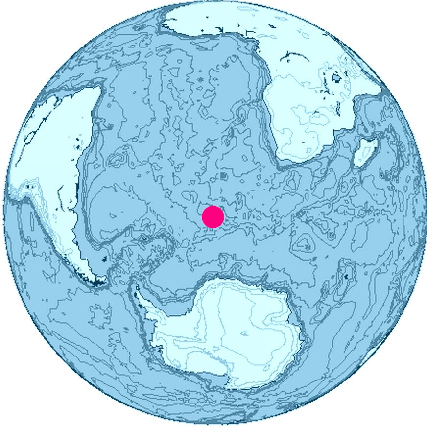
Location of Bouvet Island, South Atlantic Ocean, Antarctica
The map was created with this online map creation tool archive copy at the Wayback Machine.
Lisensiering

|
Dette verk er fri programvare; du kan distribuere det og/eller modifisere det under vilkårene i GNU General Public License som publisert av Free Software Foundation; i versjon 2 av lisensen eller en senere versjon. Dette verk er distribuert i håp om at det skal være anvendelig, men uten noen garanti; uten selv underforstått garanti om salgbarhet eller egnethet til et bestemt formål. Se versjon 2 og versjon 3 av GNU General Public License for flere detaljer. |
Filhistorikk
Klikk på et tidspunkt for å vise filen slik den var på det tidspunktet.
| Dato/klokkeslett | Miniatyrbilde | Dimensjoner | Bruker | Kommentar | |
|---|---|---|---|---|---|
| nåværende | 26. jun. 2006 kl. 18:24 | | 872 × 872 (113 KB) | Apcbg | Location of Bouvet Island, South Atlantic Ocean, Antarctica The map was created with this [http://www.aquarius.geomar.de/omc/ online map creation tool]. |
Filbruk
Det er ingen sider som bruker denne filen.
Global filbruk
Følgende andre wikier bruker denne filen:
- Bruk i ban.wikipedia.org
- Bruk i br.wikipedia.org
- Bruk i et.wikipedia.org
- Bruk i fi.wikipedia.org
- Bruk i fr.wiktionary.org
- Bruk i io.wikipedia.org
- Bruk i kk.wikipedia.org
- Bruk i my.wikipedia.org
- Bruk i ne.wikipedia.org
- Bruk i nn.wikipedia.org
- Bruk i pl.wiktionary.org
- Bruk i pnb.wikipedia.org
- Bruk i ro.wikipedia.org
- Bruk i ur.wikipedia.org