
Fil:Map of Oklahoma highlighting Washita County.svg

Størrelse for denne PNG-forhåndsvisningen av denne SVG-filen: 800 × 397 piksler Andre oppløsninger: 320 × 159 piksler | 640 × 317 piksler | 1 024 × 508 piksler | 1 280 × 635 piksler | 2 560 × 1 269 piksler | 7 730 × 3 832 piksler.
Opprinnelig fil (SVG-fil, standardstørrelse 7 730 × 3 832 piksler, filstørrelse: 57 KB)
| Denne filen er fra Wikimedia Commons og kan brukes av andre prosjekter. Informasjonen fra filbeskrivelsessiden vises nedenfor. |
Beskrivelse
| Beskrivelse |
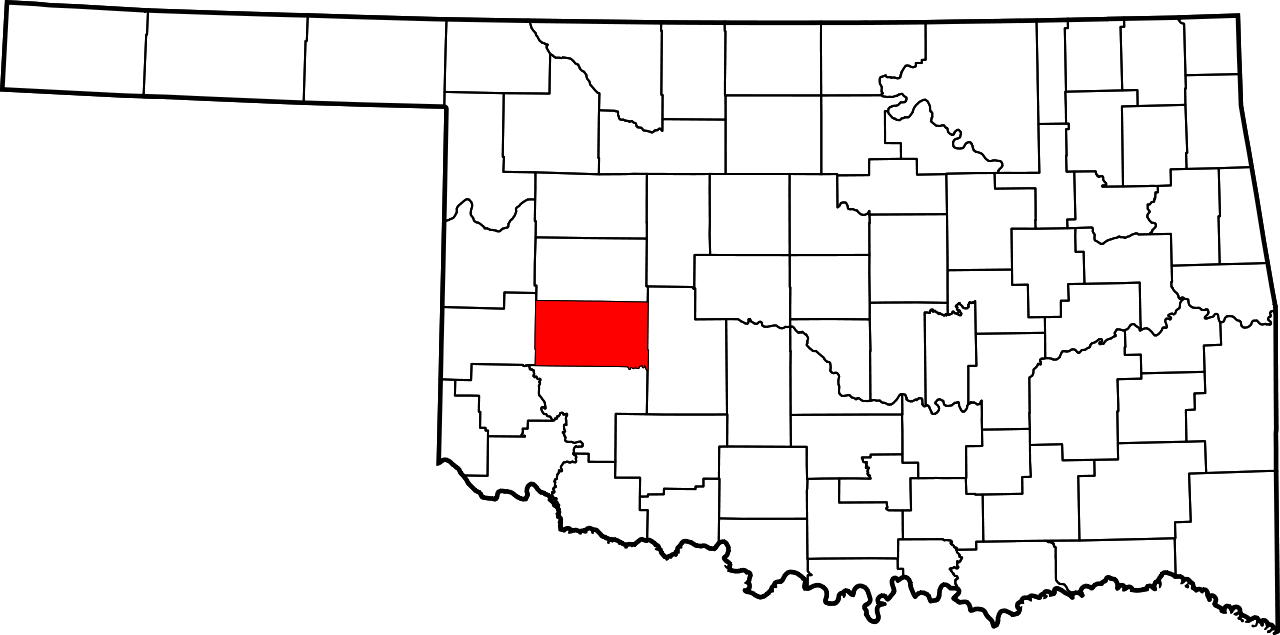
English: This is a locator map showing Washita County in Oklahoma. For more information, see Commons:United States county locator maps. |
| Dato | |
| Kilde |
Eget verk: English: The maps use data from nationalatlas.gov, specifically countyp020.tar.gz on the Raw Data Download page. The maps also use state outline data from statesp020.tar.gz. The Florida maps use hydrogm020.tar.gz to display Lake Okeechobee. |
| Opphavsperson | David Benbennick |
Lisensiering
| Jeg, opphavsrettensholderen til dette verket, frigir dette verket til allmennheten. Dette gjelder på verdensbasis. I enkelte land kan dette være juridisk umulig. I så fall: Jeg gir hvem som helst retten til å bruke dette verket for ethvert formål, uten noen vilkår, med mindre slike vilkår kreves ved lov. |
Filhistorikk
Klikk på et tidspunkt for å vise filen slik den var på det tidspunktet.
| Dato/klokkeslett | Miniatyrbilde | Dimensjoner | Bruker | Kommentar | |
|---|---|---|---|---|---|
| nåværende | 12. feb. 2006 kl. 18:15 | | 7 730 × 3 832 (57 KB) | David Benbennick | {{subst:User:Dbenbenn/clm|county=Washita County|state=Oklahoma|type=county}} |
Filbruk
Den følgende siden bruker denne filen:
Global filbruk
Følgende andre wikier bruker denne filen:
- Bruk i ar.wikipedia.org
- Bruk i bg.wikipedia.org
- Bruk i bpy.wikipedia.org
- Bruk i ca.wikipedia.org
- Bruk i cdo.wikipedia.org
- Bruk i ceb.wikipedia.org
- Bruk i cy.wikipedia.org
- Bruk i de.wikipedia.org
- Bruk i en.wikipedia.org
- List of counties in Oklahoma
- Washita County, Oklahoma
- Bessie, Oklahoma
- Burns Flat, Oklahoma
- Canute, Oklahoma
- Colony, Oklahoma
- Corn, Oklahoma
- Dill City, Oklahoma
- Foss, Oklahoma
- New Cordell, Oklahoma
- Rocky, Oklahoma
- Sentinel, Oklahoma
- Clinton, Oklahoma
- Cloud Chief, Oklahoma
- Port, Oklahoma
- Retrop, Oklahoma
- McLemore Site
- Template:Washita County, Oklahoma
- User:Nyttend/County templates/OK
- National Register of Historic Places listings in Washita County, Oklahoma
- Category:Populated places in Washita County, Oklahoma
- Canute Service Station
- Washita County Courthouse
- New Cordell Courthouse Square Historic District
- Cordell Carnegie Public Library
- Cedar Creek District
- Template:NRHP in Washita County, Oklahoma
Vis mer global bruk av denne filen.