
Fil:Map of Kentucky highlighting Hardin County.svg

Størrelse for denne PNG-forhåndsvisningen av denne SVG-filen: 800 × 345 piksler Andre oppløsninger: 320 × 138 piksler | 640 × 276 piksler | 1 024 × 441 piksler | 1 280 × 551 piksler | 2 560 × 1 103 piksler | 6 770 × 2 916 piksler.
Opprinnelig fil (SVG-fil, standardstørrelse 6 770 × 2 916 piksler, filstørrelse: 127 KB)
| Denne filen er fra Wikimedia Commons og kan brukes av andre prosjekter. Informasjonen fra filbeskrivelsessiden vises nedenfor. |
Beskrivelse
| Beskrivelse |
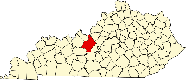
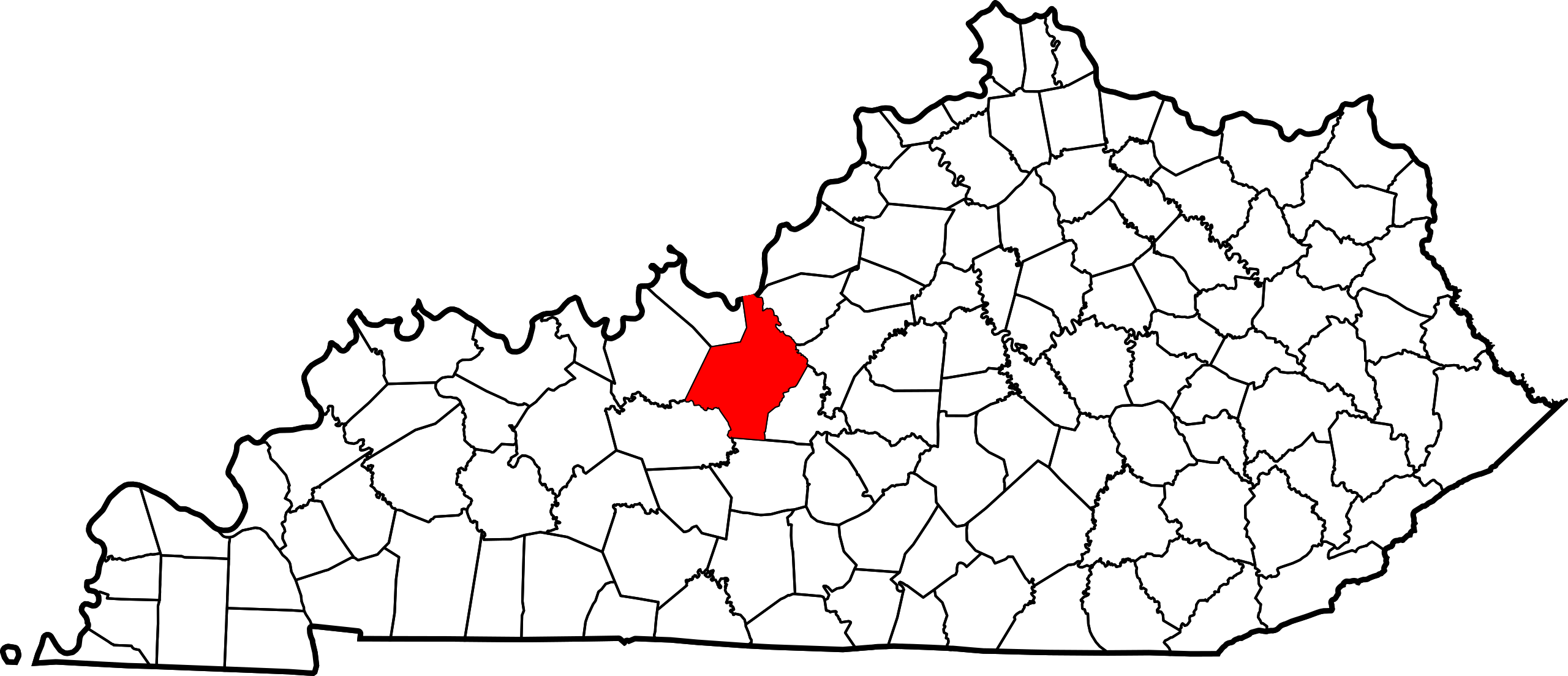
English: This is a locator map showing Hardin County in Kentucky. For more information, see Commons:United States county locator maps. |
| Dato | |
| Kilde |
Eget verk: English: The maps use data from nationalatlas.gov, specifically countyp020.tar.gz on the Raw Data Download page. The maps also use state outline data from statesp020.tar.gz. The Florida maps use hydrogm020.tar.gz to display Lake Okeechobee. |
| Opphavsperson | David Benbennick |
Lisensiering
| Jeg, opphavsrettensholderen til dette verket, frigir dette verket til allmennheten. Dette gjelder på verdensbasis. I enkelte land kan dette være juridisk umulig. I så fall: Jeg gir hvem som helst retten til å bruke dette verket for ethvert formål, uten noen vilkår, med mindre slike vilkår kreves ved lov. |
Filhistorikk
Klikk på et tidspunkt for å vise filen slik den var på det tidspunktet.
| Dato/klokkeslett | Miniatyrbilde | Dimensjoner | Bruker | Kommentar | |
|---|---|---|---|---|---|
| nåværende | 12. feb. 2006 kl. 14:22 | | 6 770 × 2 916 (127 KB) | David Benbennick | {{subst:User:Dbenbenn/clm|county=Hardin County|state=Kentucky}} |
Filbruk
De følgende 2 sidene bruker denne filen:
Global filbruk
Følgende andre wikier bruker denne filen:
- Bruk i ar.wikipedia.org
- Bruk i azb.wikipedia.org
- Bruk i bg.wikipedia.org
- Bruk i bpy.wikipedia.org
- Bruk i ca.wikipedia.org
- Bruk i cdo.wikipedia.org
- Bruk i ceb.wikipedia.org
- Bruk i ce.wikipedia.org
- Bruk i cs.wikipedia.org
- Bruk i cy.wikipedia.org
- Bruk i de.wikipedia.org
- Bruk i el.wikipedia.org
- Bruk i en.wikipedia.org
- Fort Knox
- Hardin County, Kentucky
- Elizabethtown, Kentucky
- Radcliff, Kentucky
- Sonora, Kentucky
- Vine Grove, Kentucky
- West Point, Kentucky
- Muldraugh, Kentucky
- Upton, Kentucky
- List of counties in Kentucky
- Glendale, Kentucky
- Cecilia, Kentucky
- Template:Hardin County, Kentucky
- User:Nyttend/County templates/KY/1
- National Register of Historic Places listings in Hardin County, Kentucky
- Rineyville, Kentucky
- Category:Populated places in Hardin County, Kentucky
- Big Spring, Kentucky
- Limp, Kentucky
- Eastview, Kentucky
- White Mills, Kentucky
- Nolin, Kentucky
- Saint John, Kentucky
- Howe Valley, Kentucky
- Star Mills, Kentucky
- Hardin Springs, Kentucky
- Template:HardinCountyKY-geo-stub
- Stephensburg, Kentucky
- Old Stephensburg, Kentucky
- Bruk i es.wikipedia.org
- Bruk i et.wikipedia.org
- Bruk i eu.wikipedia.org
Vis mer global bruk av denne filen.