
Fil:Mali.A2001291.1045.250m.jpg

Størrelse på denne forhåndsvisningen: 800 × 600 piksler. Andre oppløsninger: 320 × 240 piksler | 640 × 480 piksler | 1 024 × 768 piksler | 1 280 × 960 piksler | 2 560 × 1 920 piksler | 4 000 × 3 000 piksler.
Opprinnelig fil (4 000 × 3 000 piksler, filstørrelse: 1,75 MB, MIME-type: image/jpeg)
| Denne filen er fra Wikimedia Commons og kan brukes av andre prosjekter. Informasjonen fra filbeskrivelsessiden vises nedenfor. |
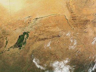
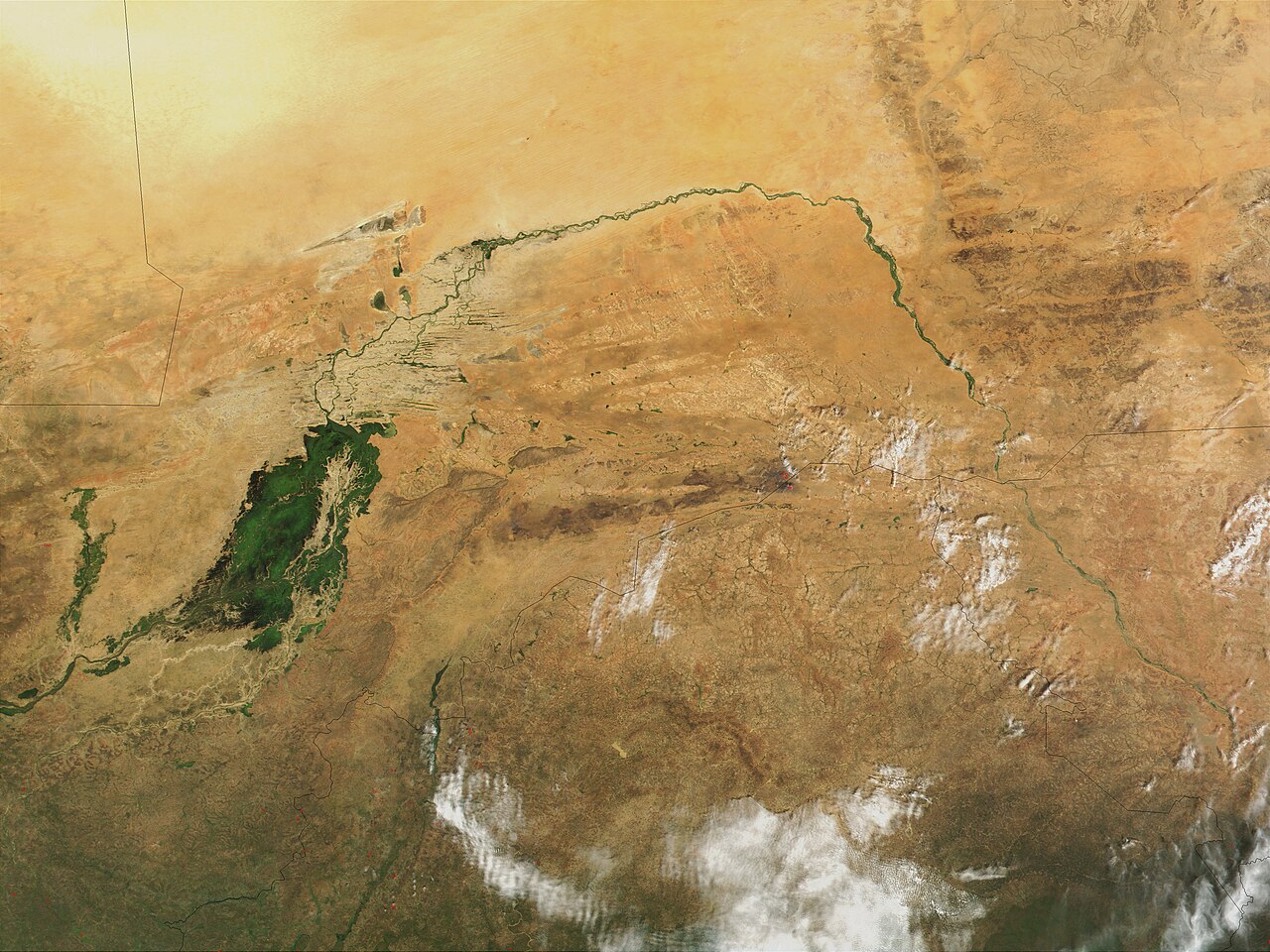
| Beskrivelse | Niger River in Mali, 2001. Just south of the Sahara Desert in Africa, the Niger River creates a lush area of wetlands and lakes in an otherwise arid environment. In this true-color MODIS image from October 18, 2001, the Niger enters at left as a thin strip of green and flows northeast through Mali. The river then turns south and heads into the country of Niger. (Note, this is at the end of the rainy season, showing the Niger Inland Delta in dark green). | |||||
| Dato |
Visualization Date 2001-10-18 |
|||||
| Kilde | http://veimages.gsfc.nasa.gov/2243/Mali.A2001291.1045.250m.jpg | |||||
| Opphavsperson | Jacques Descloitres, MODIS Land Rapid Response Team, NASA/GSFC | |||||
| Tillatelse (Gjenbruk av denne filen) |
PD, US Gov
|

Filhistorikk
Klikk på et tidspunkt for å vise filen slik den var på det tidspunktet.
| Dato/klokkeslett | Miniatyrbilde | Dimensjoner | Bruker | Kommentar | |
|---|---|---|---|---|---|
| nåværende | 9. mar. 2008 kl. 00:43 | | 4 000 × 3 000 (1,75 MB) | T L Miles | {{Information |Description=Niger River in Mali, 2001. Just south of the Sahara Desert in Africa, the Niger River creates a lush area of wetlands and lakes in an otherwise arid environment. In this true-color MODIS image from October 18, 2001, the Niger en |
Filbruk
Den følgende siden bruker denne filen:
Global filbruk
Følgende andre wikier bruker denne filen:
- Bruk i af.wikipedia.org
- Bruk i as.wikipedia.org
- Bruk i bg.wikipedia.org
- Bruk i ca.wikipedia.org
- Bruk i cy.wikipedia.org
- Bruk i en.wikipedia.org
- Bruk i eo.wikipedia.org
- Bruk i fr.wikipedia.org
- Bruk i ilo.wikipedia.org
- Bruk i ja.wikipedia.org
- Bruk i la.wikipedia.org
- Bruk i oc.wikipedia.org
- Bruk i pt.wikipedia.org
- Bruk i sr.wikipedia.org
- Bruk i sv.wikipedia.org
- Bruk i sw.wikipedia.org
- Bruk i ta.wikipedia.org
- Bruk i uk.wikipedia.org
- Bruk i zh.wikipedia.org