
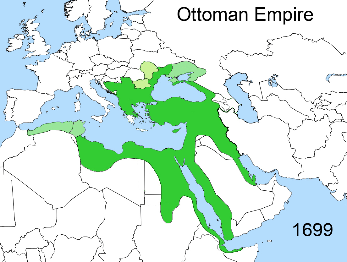
Fil:Territorial changes of the Ottoman Empire 1699.jpg
Størrelse på denne forhåndsvisningen: 794 × 600 piksler. Andre oppløsninger: 318 × 240 piksler | 636 × 480 piksler | 1 017 × 768 piksler | 1 104 × 834 piksler.
Opprinnelig fil (1 104 × 834 piksler, filstørrelse: 442 KB, MIME-type: image/jpeg)
| Denne filen er fra Wikimedia Commons og kan brukes av andre prosjekter. Informasjonen fra filbeskrivelsessiden vises nedenfor. |
| Beskrivelse | |
| Dato | |
| Kilde | Eget verk |
| Opphavsperson | Esemono |
| Tillatelse (Gjenbruk av denne filen) |
Own work, all rights released (Public domain) |


| Jeg, opphavsrettensholderen til dette verket, frigir dette verket til allmennheten. Dette gjelder på verdensbasis. I enkelte land kan dette være juridisk umulig. I så fall: Jeg gir hvem som helst retten til å bruke dette verket for ethvert formål, uten noen vilkår, med mindre slike vilkår kreves ved lov. |
Filhistorikk
Klikk på et tidspunkt for å vise filen slik den var på det tidspunktet.
| Dato/klokkeslett | Miniatyrbilde | Dimensjoner | Bruker | Kommentar | |
|---|---|---|---|---|---|
| nåværende | 18. feb. 2020 kl. 02:31 | | 1 104 × 834 (442 KB) | Claude Zygiel | Mistakes corrected |
| 23. apr. 2009 kl. 14:46 |  | 1 104 × 834 (418 KB) | Esemono | {{Information |Description=Territorial changes of the Ottoman Empire |Source=Self made |Date=April, 2009 |Author=Esemono |Permission=Own work, all rights released (Public domain) |other_versions= }} {{PD-self}} [[Category:Maps of the B |
Filbruk
Det er ingen sider som bruker denne filen.
Global filbruk
Følgende andre wikier bruker denne filen:
- Bruk i en.wikipedia.org
- Bruk i it.wikipedia.org
- Bruk i ru.wikipedia.org
- Bruk i sr.wikipedia.org
- Bruk i vi.wikipedia.org
- Bruk i zh.wikipedia.org